Detailed picks

Nature and hikes

Full walking days and single trails, from Mount Takao an hour from Tokyo to the Nakasendo, Kamikochi and Yakushima: distance, season, and what the ropeway costs.

20 itineraries and trails in 13 cities

Tokyo

3 itineraries and trails

3.8 km · Easy

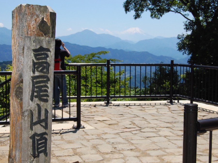
Mount Takao

A 599-meter mountain, about 50 minutes from Shinjuku on the Keio line to Takaosanguchi Station. Trail No. 1 climbs to the summit over 3.8 km, mostly paved, and passes Yakuo-in Temple. You can shorten it by taking the cable car halfway up, then it is about 25 minutes on foot to the temple and about 20 more to the summit. Weekdays are less crowded, and on a clear morning you can see Mount Fuji from the top. The trail itself is free, and the cable car and the chairlift cost ¥490 one way and ¥980 round trip.

FreeMapsSource

Price checked October 2026

Photo: Kentagon / Wikimedia Commons (CC BY-SA 4.0)
3 to 4 hours · Moderate

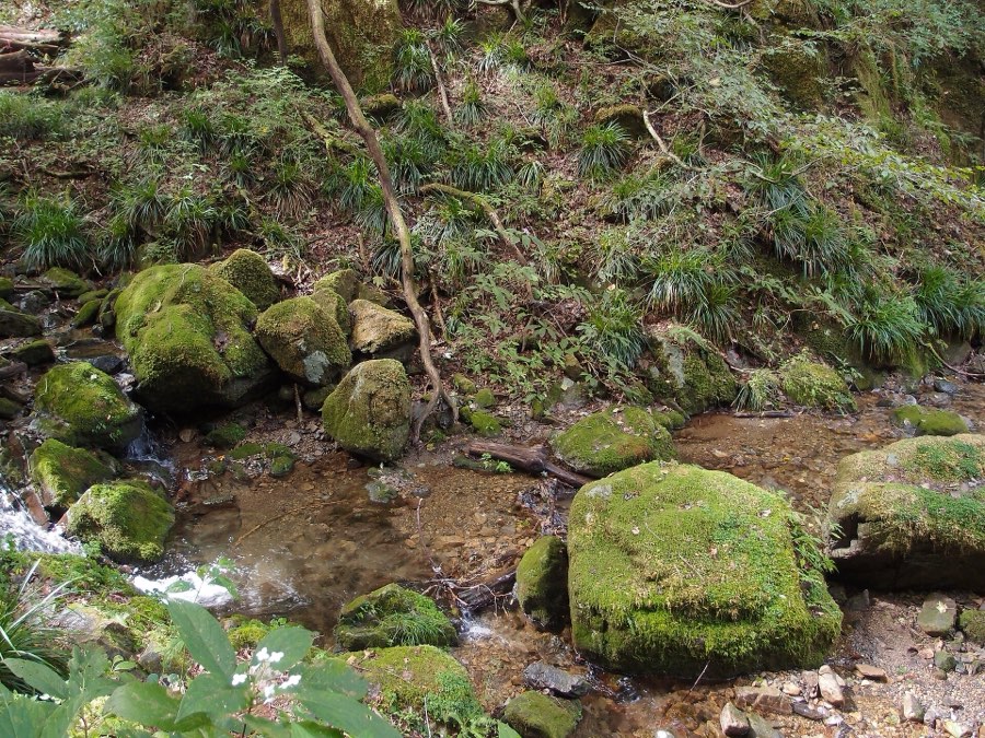
Mount Mitake and the Rock Garden

A 929-meter mountain in western Tokyo: the JR Chuo line to Tachikawa, the Ome line to Mitake Station, a bus to the cable car station and a cable car ride of about 6 minutes. From the top station it is about 30 minutes on foot to Musashi Mitake Shrine, and from there the Rock Garden trail branches off, 1.5 km along a stream between moss-covered boulders and waterfalls. The whole loop, from the cable car through the shrine and the Rock Garden and back, takes 3 to 4 hours according to the cable car operator. Past the shrine the path is no longer paved, so wear closed shoes and bring water. The trail is free, the cable car costs ¥700 one way and ¥1,400 round trip from 1 October 2026, and the bus to the cable car station is paid separately.

FreeMapsSource

Price checked October 2026

Photo: Guilhem Vellut from Annecy, France / Wikimedia Commons (CC BY 2.0)

Kyoto

3 itineraries and trails

About 3.5 hours · Moderate

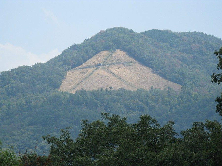
Mount Daimonji from Keage to Ginkaku-ji

A section of the Kyoto Trail in the east of the city: from Keage Station on the Tozai subway line, past Himukai Daijingu Shrine, up to the 465-meter summit of Mount Daimonji, and down to Ginkaku-ji. According to the Kyoto Trail site it takes about 3 hours 25 minutes in this direction, and 2 hours 50 minutes in the opposite direction. From the survey point on the summit you see the Kyoto Basin to the west and the Yamashina Basin to the south. On the way down there are steep, moss-covered stone steps that are slippery when wet, and after Himukai Daijingu there are no toilets until Ginkaku-ji. The trail is free.

FreeMapsSource

Price checked October 2026

Photo: KENPEI / Wikimedia Commons (CC BY-SA 3.0)

Nara

one entry

9.4 km · Moderate

Kasugayama Primeval Forest Trail

A forest behind Kasuga Taisha where hunting and logging were banned as early as 841, and it is a World Heritage site. A 9.4 km trail loops around it from the north entrance to the south one, about 210 minutes according to Nara Prefecture, with stone Buddha statues and large cedar trees along the way. Take a bus from JR Nara or Kintetsu Nara Station to the Wariishicho stop, then walk about 15 minutes. Leaving the path into the forest is forbidden, and toilets are only at the rest shelters along it. The trail is free.

FreeMapsSource

Price checked October 2026

Photo: Vera46 / Wikimedia Commons (CC BY 2.0)

Kobe

one entry

About five hours · Hard

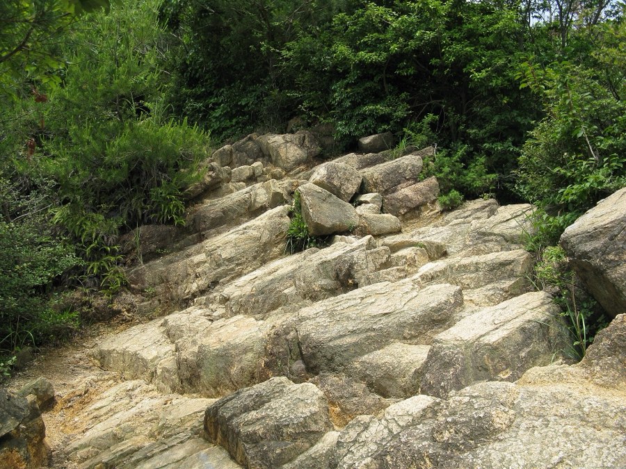
Ashiya Rock Garden to Mount Rokko summit

The common route up Mount Rokko starts at Ashiyagawa Station on the Hankyu line and climbs through the Ashiya Rock Garden, a field of granite boulders where you also climb with your hands. From there you continue to Kazafuki Rock (447 meters) and up to the highest peak, 931 meters, about five hours according to the Hyogo Prefecture tourism site. Because of the rocks you need hiking shoes and proper gear, not city shoes. On the north side you can go down to Arima Onsen on the Rokko-Arima Ropeway from the mountain station next to Rokko Garden Terrace, 12 minutes. The trail is free, and the ropeway to Arima costs ¥1,400 one way.

FreeMapsSource

Price checked October 2026

Photo: KENPEI / Wikimedia Commons (CC BY-SA 3.0)

Nagano

one entry

Kamikochi

one entry

Kiso Valley

one entry

6.8 km · Hard

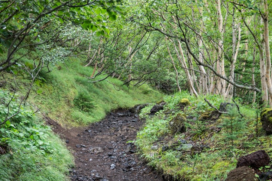
Mount Fuji climb on the Yoshida Trail

The trail to the summit of Mount Fuji from the Yamanashi side starts at the Fuji Subaru Line 5th Station, at 2,305 meters: 6.8 km and a climb of about 1,450 meters, about six hours and ten minutes up and about three and a half hours down, according to the official climbing site. Climbing is allowed only in season, which in 2026 ran from 1 July to 10 September, and the mountain is now closed until the next season, whose dates have not been announced yet. In 2026 the passage fee was ¥4,000 per person, there was a cap of 4,000 climbers a day, and the gate was closed from 14:00 to 3:00 for anyone not staying at a mountain hut. At the gate they check that you have winter clothes, two-piece rain gear and hiking shoes. Outside the season there are no first-aid stations and no huts open, and the official site warns that climbing then is dangerous.

¥4,000 · ≈ $25MapsSource

Photo: Flittergreeze / Wikimedia Commons (CC BY-SA 4.0)
Hakone

one entry

About 40 minutes · Easy to moderate

Old Tokaido Road walk from Amazake Chaya

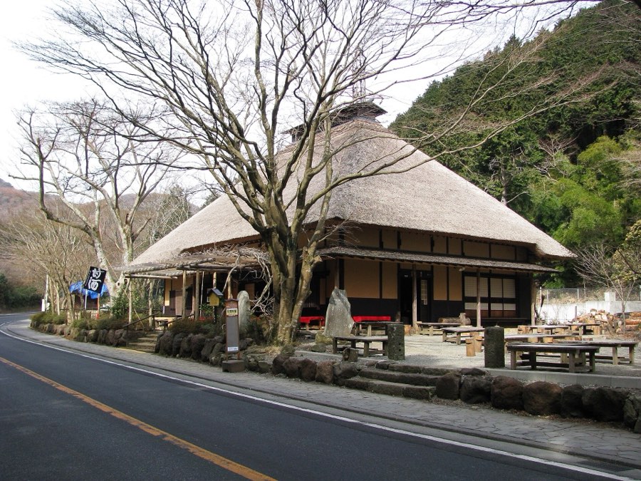
A stone-paved stretch of the Edo-period Tokaido road that descends to Lake Ashi. From Hakone-Yumoto Station take the Hakone Tozan bus (line K) for about 26 minutes to the Amazake Chaya stop, a 400-year-old teahouse serving non-alcoholic amazake. From there you walk on the stones and along the cedar avenue to Moto-Hakone, about 40 minutes on the stones according to the Hakone town walking map, and continue to the historic checkpoint. The stones are slippery after rain, so wear shoes with good soles. The trail is free, and the bus is paid.

FreeMapsSource

Price checked October 2026

Photo: Aimaimyi / Wikimedia Commons (CC BY-SA 3.0)

Nikko

one entry

About 5 km · Easy

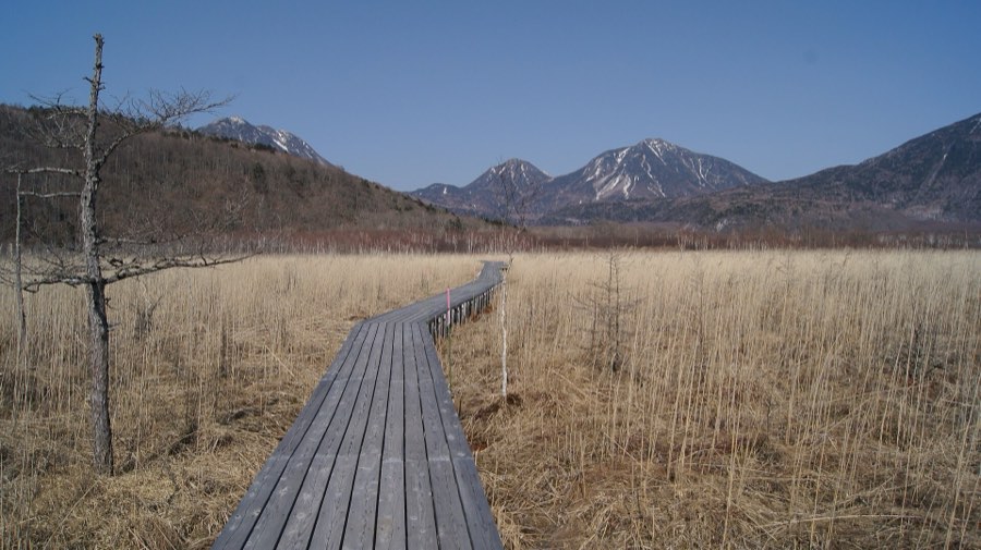
Senjogahara Marshland Trail

A high moor at about 1,400 meters in Oku-Nikko, crossed by a wooden boardwalk. From Nikko Station take the Tobu bus toward Yumoto Onsen: about 75 minutes to the Yudaki stop and about 67 minutes to Akanuma. The recommended route for beginners starts at Yudaki Falls and goes down past Izumiyado Pond to Akanuma, about 1 hour 45 minutes of walking, but plan 2.5 to 3 hours with stops. According to the Nikko tourism association the best seasons are mid-June to early August for flowers, and late September to early October for the autumn colors of the grasses. The trail is free, and the bus is paid.

FreeMapsSource

Price checked October 2026

Photo: i- saint / Wikimedia Commons (CC BY 2.0)

Kamakura and Enoshima

one entry

3 km · Easy

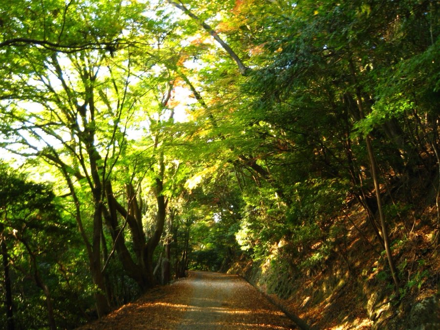
Kuzuharaoka-Daibutsu Hiking Trail

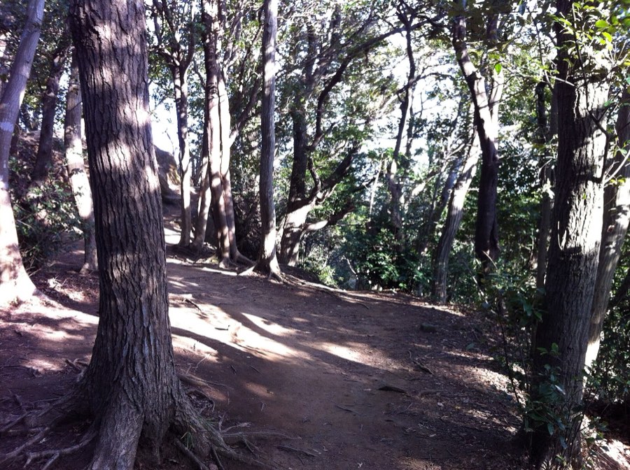
A forest trail of about 3 km from Kita-Kamakura to Hase, and Kamakura itself is about an hour from Tokyo on the JR Yokosuka line. It passes Jochi-ji Temple, Kuzuharaoka Shrine, Zeniarai Benzaiten and Sasuke Inari, and comes down to the Great Buddha. According to the Kamakura tourism association it suits beginners, and with stops it takes 2.5 to 3 hours. It is a natural mountain path that gets slippery after rain, and hornets are active from summer to autumn. The trail is free, and entry to the Great Buddha at its end costs ¥300.

FreeMapsSource

Price checked October 2026

Photo: comachiangel / Wikimedia Commons (CC BY 3.0)

Kumano and Katsuura

one entry

Elsewhere in Japan

4 itineraries and trails

14 km · Easy

Oirase Gorge Stream Walk

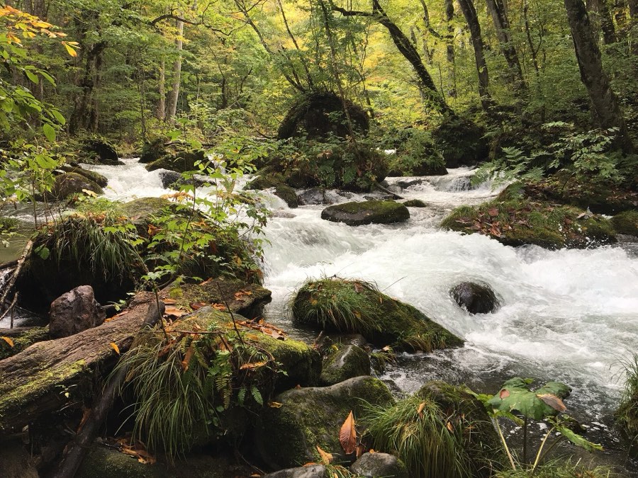
A stream that flows out of Lake Towada in Aomori Prefecture, with a gentle forest trail of about 14 km along it from Nenokuchi on the lake to Yakeyama, about five hours of walking. Get there by JR bus: from Hachinohe Station about an hour and a half to the stream museum (Oirase Keiryukan), and from Aomori about two hours. The bus runs along the stream and stops at several places, so you can walk just a section and board at the next stop. Autumn colors peak at the end of October and the beginning of November, but until 17 November you must reserve a seat in advance on the bus from Hachinohe (¥300 per seat), and from 12 November 2026 to 31 March 2027 the bus from Aomori goes only as far as Sukayu Onsen and not to the stream. The trail is free, and the bus is paid.

FreeMapsSource

Price checked October 2026

Photo: OKJaguar / Wikimedia Commons (CC BY-SA 4.0)
1.7 km · Easy

Asahidake and the Sugatami Pond loop

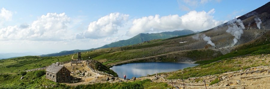
A ropeway of about 10 minutes rises from Asahidake Onsen to Sugatami Station at 1,600 meters in Daisetsuzan National Park in Hokkaido, about an hour and ten minutes by car from JR Asahikawa Station, and there is also a bus. From the station a loop trail of about 1.7 km circles Sugatami Pond, about an hour of walking. The trail is open from June to mid-October, and alpine flowers bloom from early June to mid-August; the first snow this year fell on 2 October. The ropeway costs ¥3,500 round trip until 31 October and ¥2,800 from 1 November, and it is closed for maintenance from 16 November to 10 December 2026. The trail is free, but the ropeway operator warns that the weather there changes fast, so wear hiking shoes and bring a rain and wind jacket.

FreeMapsSource

Price checked October 2026

Photo: 663highland / Wikimedia Commons (CC BY 2.5)

3 km · Easy

Shiretoko Five Lakes

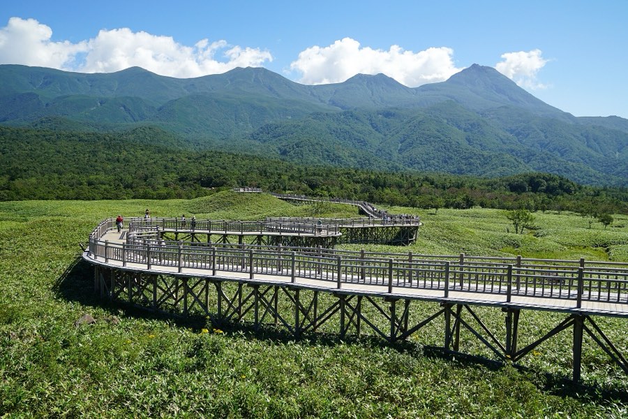
Five lakes in the forest of the Shiretoko Peninsula in northeastern Hokkaido, about 14 km (about 20 minutes by car) from the town of Utoro. An elevated wooden boardwalk of 800 meters each way, about 40 minutes round trip, free, protected from bears by an electric fence and reaching the first lake. The ground trail reaches all five lakes (the large loop takes about an hour and a half on your own): from 10 May to 31 July only on a paid guided tour, and from 1 August to the end of the season you can go alone after a 10-minute lecture, ¥450 per adult. The area is open from mid-April to mid-November, as long as the road is open, and the ground trail closes when bears are seen. You may not bring food that is not hermetically sealed, including candy and gum, nor sweetened drinks.

¥450 · ≈ $3MapsSource

Price checked October 2026

Photo: 663highland / Wikimedia Commons (CC BY 2.5)

Up to 4 hours · Moderate

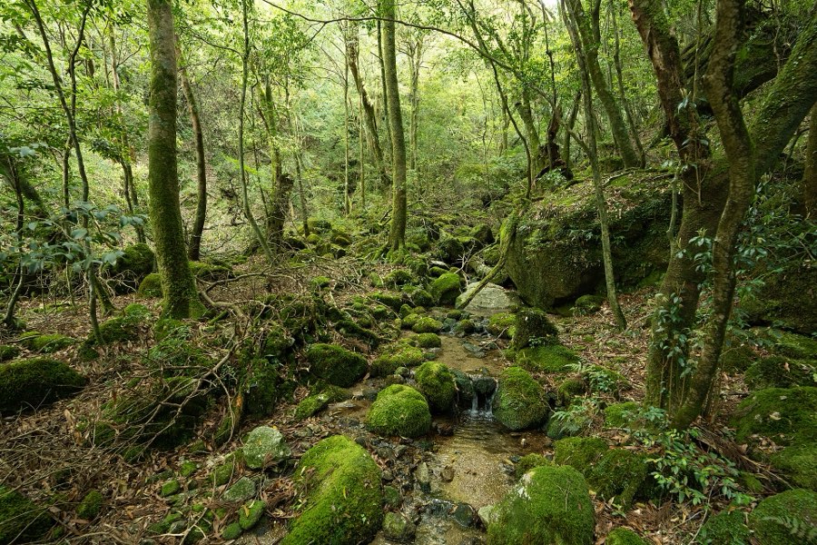
Shiratani Unsuikyo, Yakushima

A forest of Yakusugi cedars and moss on Yakushima island, south of Kyushu, about 35 minutes by bus from Miyanoura port. There are several routes: the Yayoi cedar course about an hour, the Bugyo cedar course about three hours, and a round trip to Taiko-iwa Rock about four hours. The site is open all year and closes only when there is a weather warning, and the island gets a lot of rain and the weather turns fast. There are leeches all year, especially in summer, and sandals are dangerous there: hiking shoes only. Entry is ¥500 per person (a forest conservation contribution), and the bus is paid.

¥500 · ≈ $3MapsSource

Price checked October 2026

Photo: Raita Futo from Tokyo, Japan / Wikimedia Commons (CC BY 2.0)

Picks
About this place